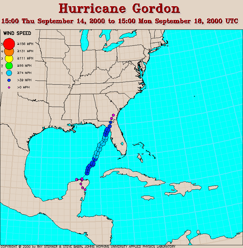
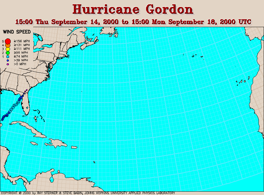
Track maps
Gordon developed from Tropical Depression Eleven near the Yucatan
Peninsula.
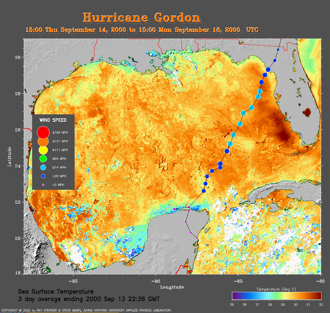 3 day average SST image from 13
September (358 Kb) This image is derived from the average composite
sea surface temperature (SST) data over 3 days ending 13 September 2000.
The averaging is done to remove clouds. The temperature scale for the
SST in this image is 25 to 32 C. The track of Gordon is overlaid on
this image.
3 day average SST image from 13
September (358 Kb) This image is derived from the average composite
sea surface temperature (SST) data over 3 days ending 13 September 2000.
The averaging is done to remove clouds. The temperature scale for the
SST in this image is 25 to 32 C. The track of Gordon is overlaid on
this image.
Track file
Track data (lat/lon, winds, etc.) in a text file.