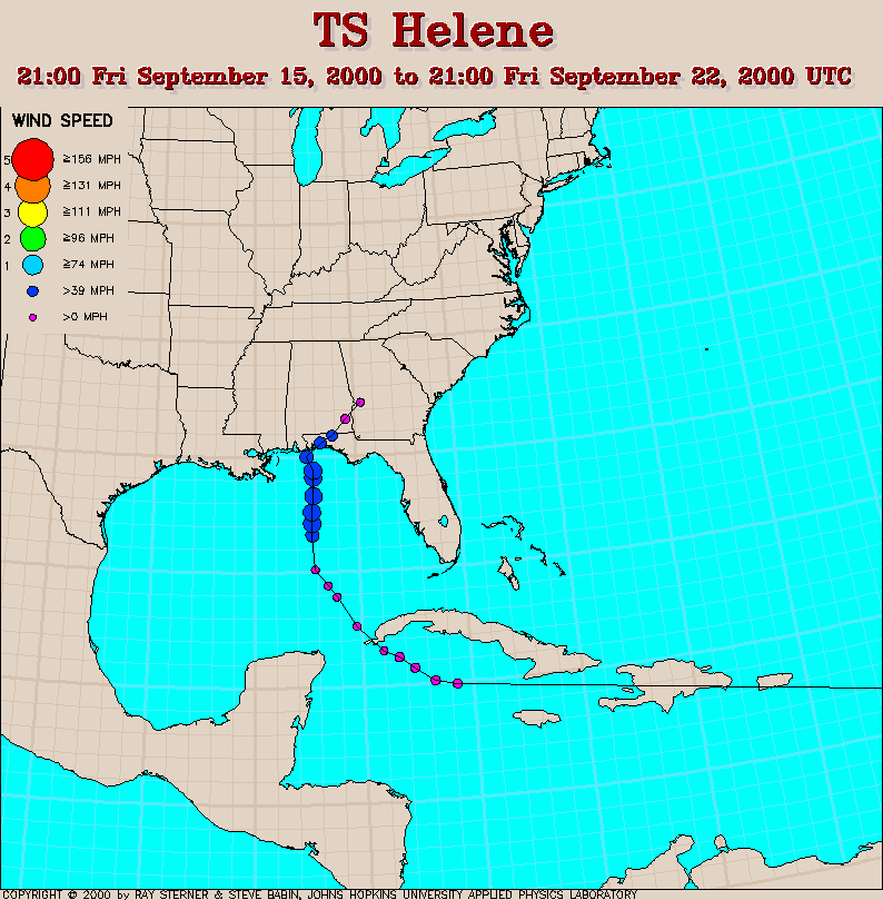
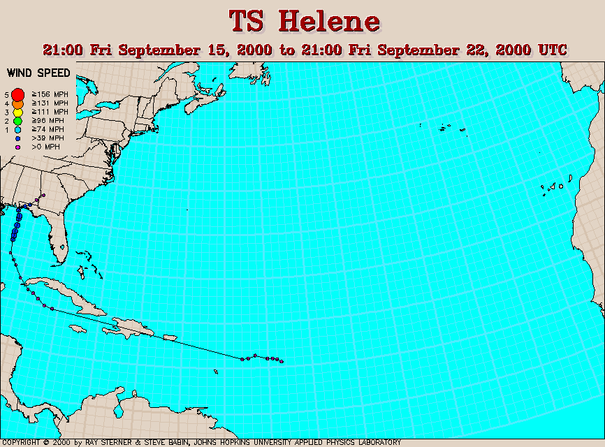
Track maps
Helene developed from Tropical Depression Twelve east of the
Caribbean. It weakened to an open wave before entering the Caribbean
and then re-developed to a depression in the western Caribbean. It
finally reached tropical storm strength in the Gulf of Mexico.
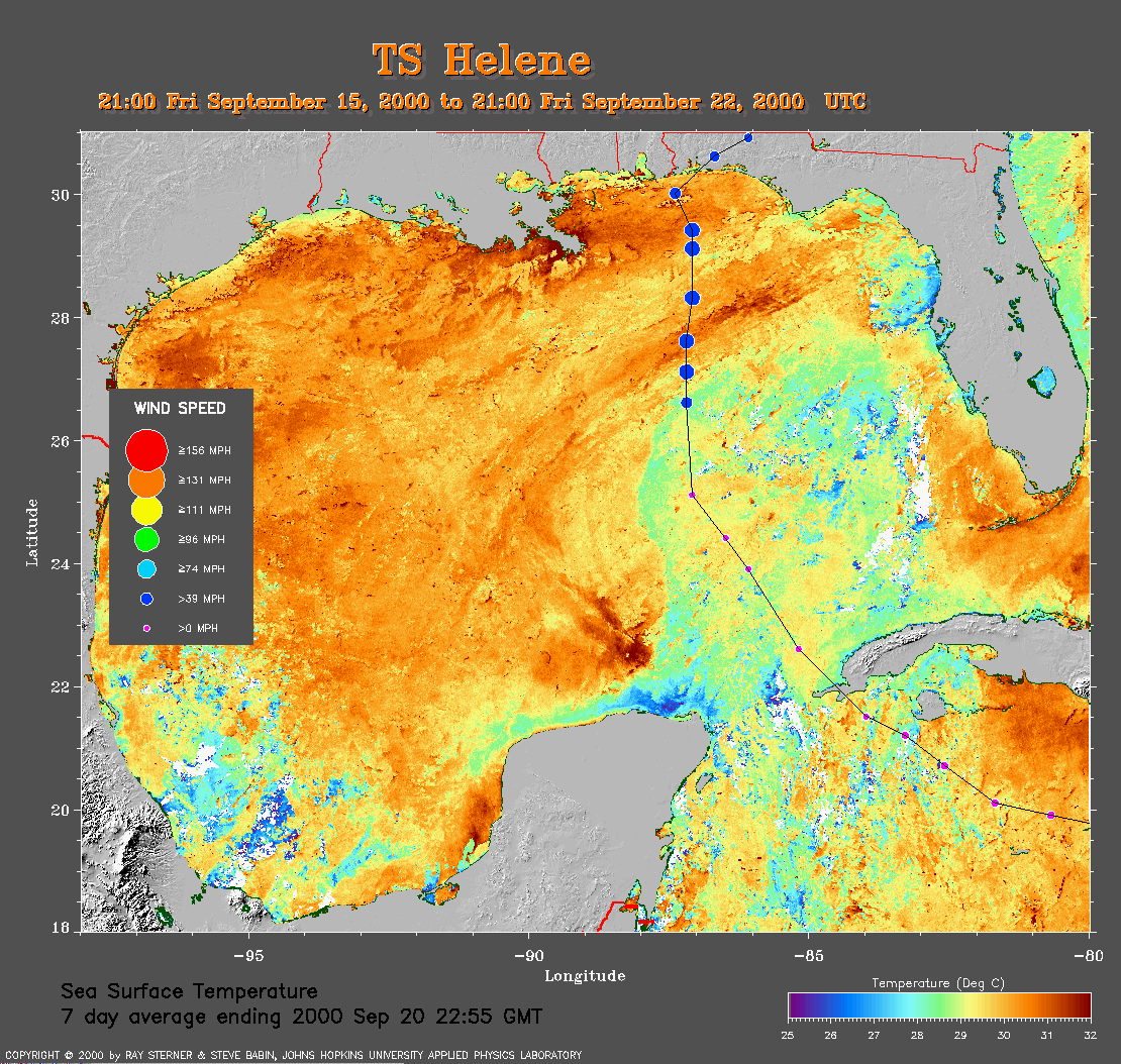 7 day average SST image from 20
September (391 Kb) This image is derived from the average composite
sea surface temperature (SST) data over 7 days ending 20 September 2000.
The averaging is done to remove clouds. The temperature scale for the
SST in this image is 25 to 32 C. The track of Helene is overlaid on
this image. Notice the track of Helene crossing the relatively cool
wake of Gordon (i.e., the wake is only relatively cool because the sst
doesn't fall below 28 C within it).
7 day average SST image from 20
September (391 Kb) This image is derived from the average composite
sea surface temperature (SST) data over 7 days ending 20 September 2000.
The averaging is done to remove clouds. The temperature scale for the
SST in this image is 25 to 32 C. The track of Helene is overlaid on
this image. Notice the track of Helene crossing the relatively cool
wake of Gordon (i.e., the wake is only relatively cool because the sst
doesn't fall below 28 C within it).
Track file
Track data (lat/lon, winds, etc.) in a text file.