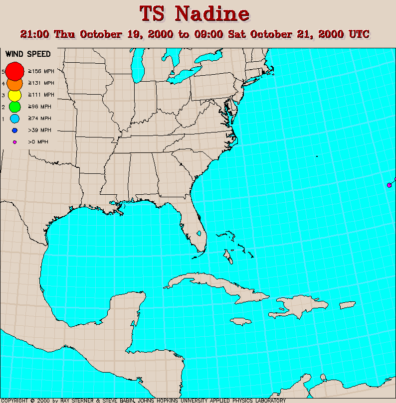
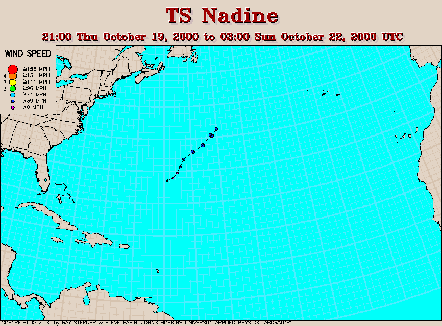
Track maps
Nadine developed from Tropical Depression Eighteen southeast of
Bermuda.
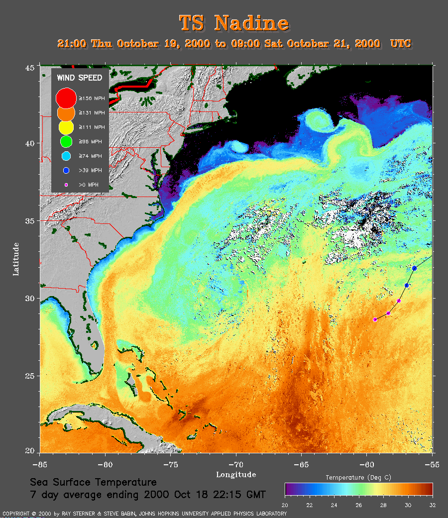 7 day average SST image from 18 October
(263 Kb) This image is derived from the average composite sea
surface
temperature (SST) data over 7 days ending 18 October 2000. The
averaging
is done to remove clouds. The temperature scale for the SST in this
image is 20 to 32 C.
The track of Nadine is overlaid on this image.
7 day average SST image from 18 October
(263 Kb) This image is derived from the average composite sea
surface
temperature (SST) data over 7 days ending 18 October 2000. The
averaging
is done to remove clouds. The temperature scale for the SST in this
image is 20 to 32 C.
The track of Nadine is overlaid on this image.
Track file
Track data (lat/lon, winds, etc.) in a text file.
GALLERY OF NOAA SATELLITE AVHRR IMAGES OF TROPICAL STORM NADINE