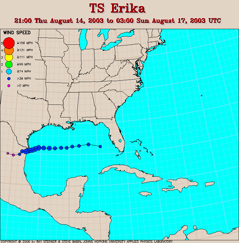
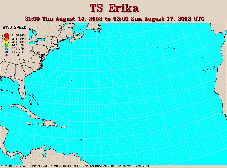
Track maps
Erika formed in the Gulf of Mexico off the coast of Florida.
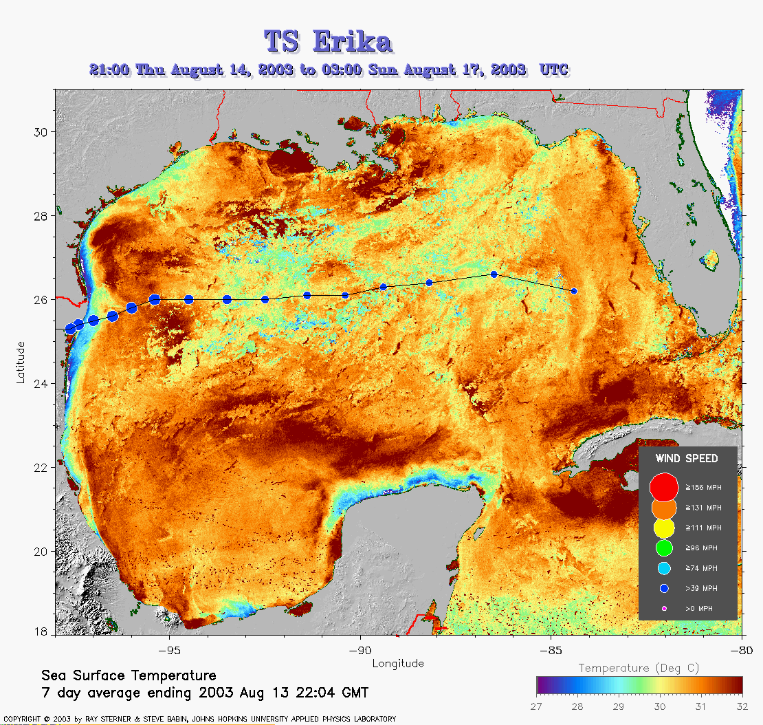 Erika
track overlaid on SST image (309 Kb). This image represents the
average composite sea surface temperature (SST) derived from NOAA
satellite AVHRR data over the 7 days ending 13 August 2003. The averaging
is done to remove clouds. The temperature scale for SST is 27C to 32C.
Erika
track overlaid on SST image (309 Kb). This image represents the
average composite sea surface temperature (SST) derived from NOAA
satellite AVHRR data over the 7 days ending 13 August 2003. The averaging
is done to remove clouds. The temperature scale for SST is 27C to 32C.
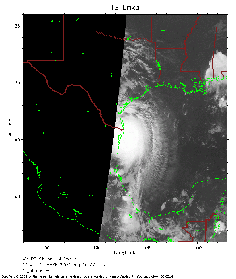 NOAA 16 Channel 4
Image (164Kb) from 16 August 0742UT.
NOAA 16 Channel 4
Image (164Kb) from 16 August 0742UT.
Track file
Track data (lat/lon, winds, etc.) in a text file.