Track maps
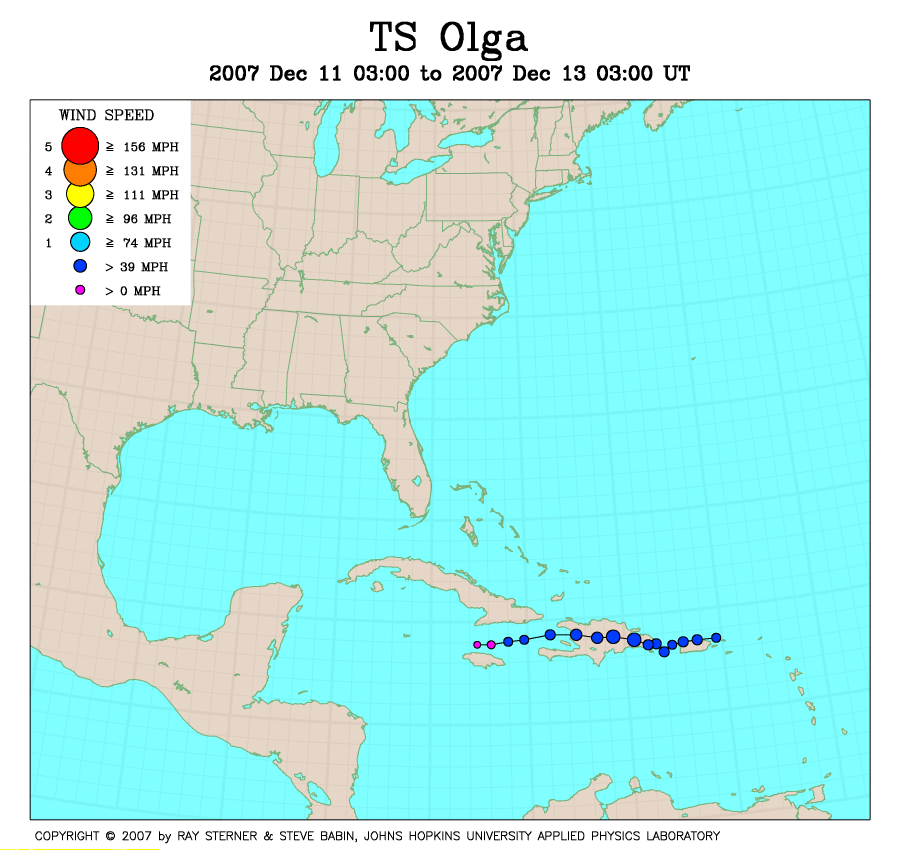
Olga developed as a Sub-Tropical Storm off the coast of Puerto Rico
and then became a Tropical Storm near Hispaniola.
Track file
Track data (lat/lon, winds, etc.) in a text file.
| TS Olga | |
|---|---|
|
|
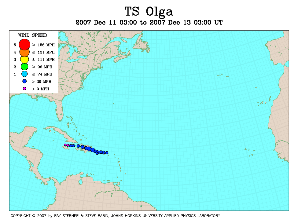
Olga developed as a Sub-Tropical Storm off the coast of Puerto Rico
and then became a Tropical Storm near Hispaniola.
|
|
Track file
|
|