Track maps
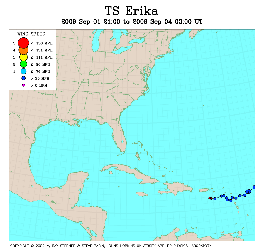
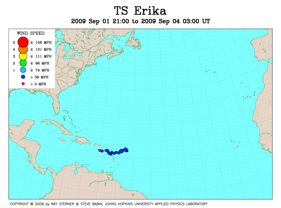
Erika developed from a low pressure area east of the Leeward Islands.
Track file
Track data (lat/lon, winds, etc.) in a text file.
| TS Erika | |
|---|---|
|
|
Erika developed from a low pressure area east of the Leeward Islands.
|
|
Track file
|
|