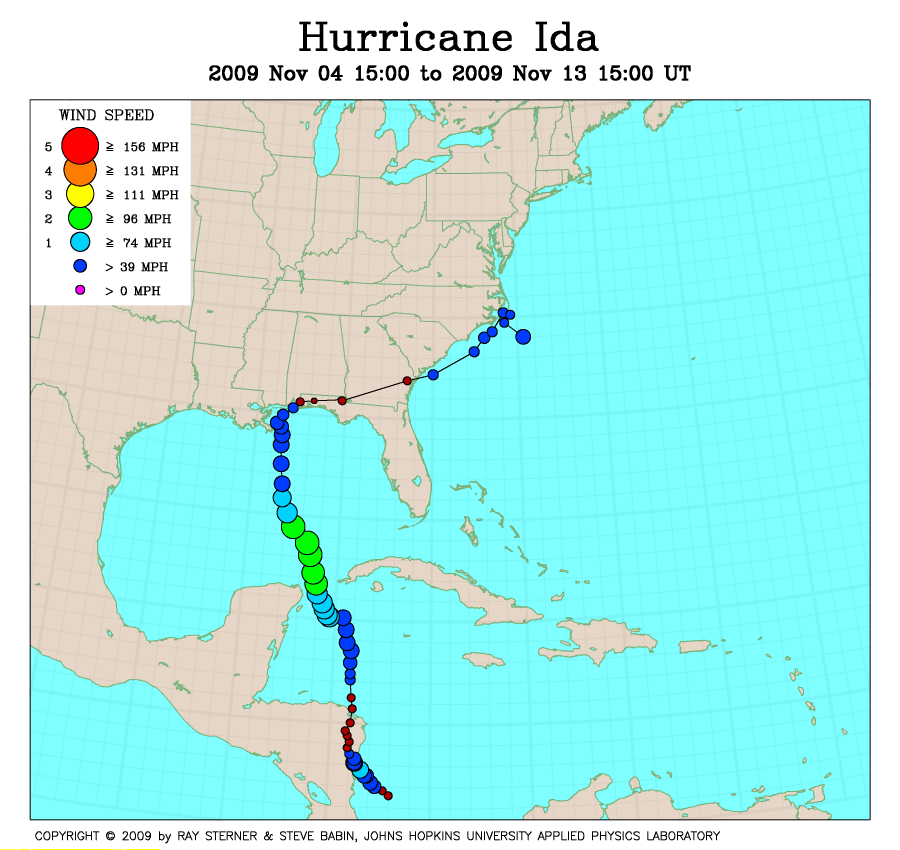
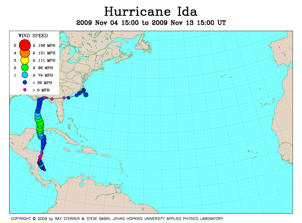
Track maps
Ida developed from Tropical Depression Eleven in the western Caribbean Sea.
Ida became extra-tropical after making landfall in the US, merged with a cold
front, and then developed into a nor'easter type storm when the remnants
encountered the warm water of the Gulf Stream.
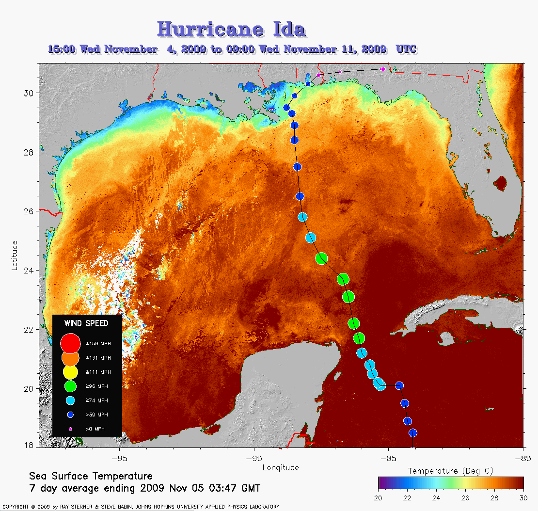 Ida track on SST image of 5 November (278 Kb) This image
represents the average composite sea surface temperature (SST) derived from
NOAA satellite AVHRR data over the 7 days ending 5 November 2009. The
averaging is done to remove clouds. The temperature scale for SST is
20C to 30C. The track of Ida is overlaid on this image.
Ida track on SST image of 5 November (278 Kb) This image
represents the average composite sea surface temperature (SST) derived from
NOAA satellite AVHRR data over the 7 days ending 5 November 2009. The
averaging is done to remove clouds. The temperature scale for SST is
20C to 30C. The track of Ida is overlaid on this image.
Track file
Track data (lat/lon, winds, etc.) in a text file.