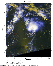
 2012 August 16 17:47 UT
NOAA-18 satellite AVHRR 3 channel color composite daytime image.
A closer view (298 Kb) is seen by clicking on this small image.
The maximum sustained winds are 50 mph.
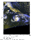
 2012 August 17 17:37 UT
NOAA-18 satellite AVHRR 3 channel color composite daytime image.
A closer view (260 Kb) is seen by clicking on this small image.
The maximum sustained winds have increased to 65 mph.
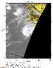
 2012 August 18 08:34 UT
NOAA-18 satellite AVHRR 3 channel color composite early morning image.
A closer view (174 Kb) is seen by clicking on this small image.
The maximum sustained winds have increased to 70 mph.
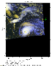
 2012 August 18 17:27 UT
NOAA-18 satellite AVHRR 3 channel color composite daytime image.
A closer view (200 Kb) is seen by clicking on this small image.
The maximum sustained winds have increased to 80 mph and Gordon is now a Saffir-Simpson Category 1 hurricane.