Track maps
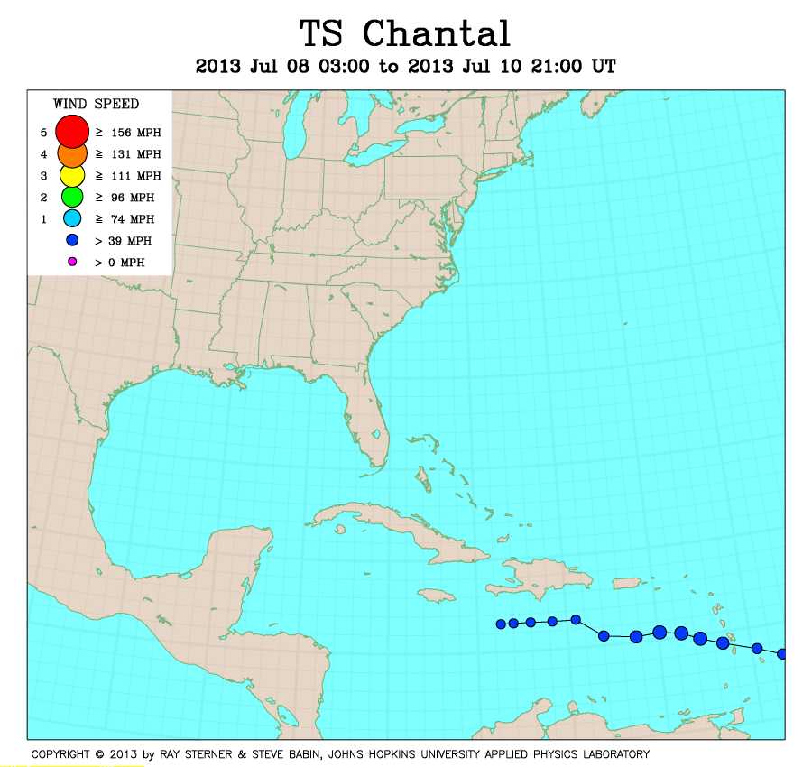
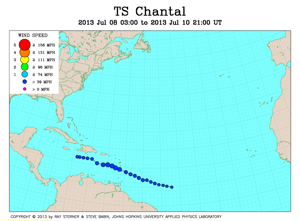
Chantal developed over the central tropical North Atlantic Ocean.
Track file
Track data (lat/lon, winds, etc.) in a text file.
| TS Chantal | |
|---|---|
|
|
Chantal developed over the central tropical North Atlantic Ocean.
|
|
Track file
|
|