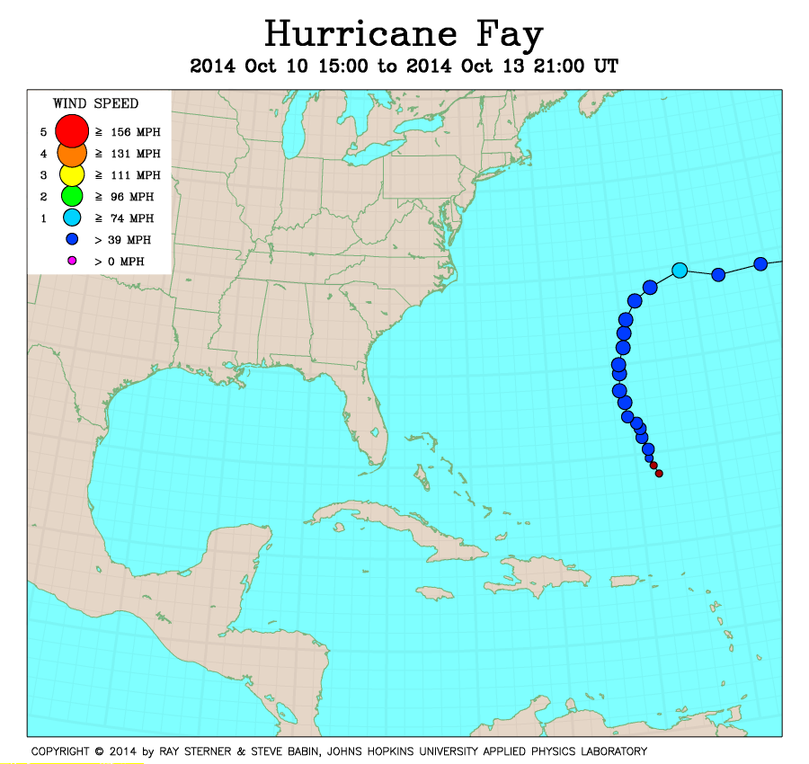
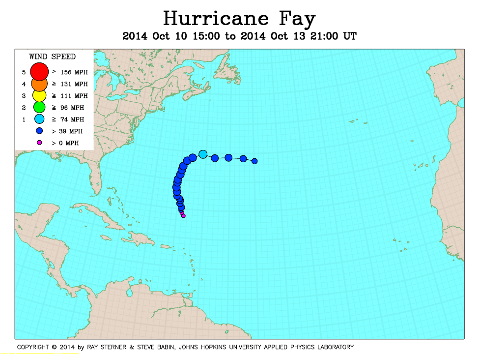
Track maps
Fay developed from Subtropical Depression Seven in the North Atlantic Ocean south of Bermuda.
A subtropical storm is defined by NOAA as a non-frontal low pressure system that has characteristics of both tropical and extratropical cyclones.
On 11 October, Fay transitioned to a tropical storm and, on 12 October, briefly became a hurricane.
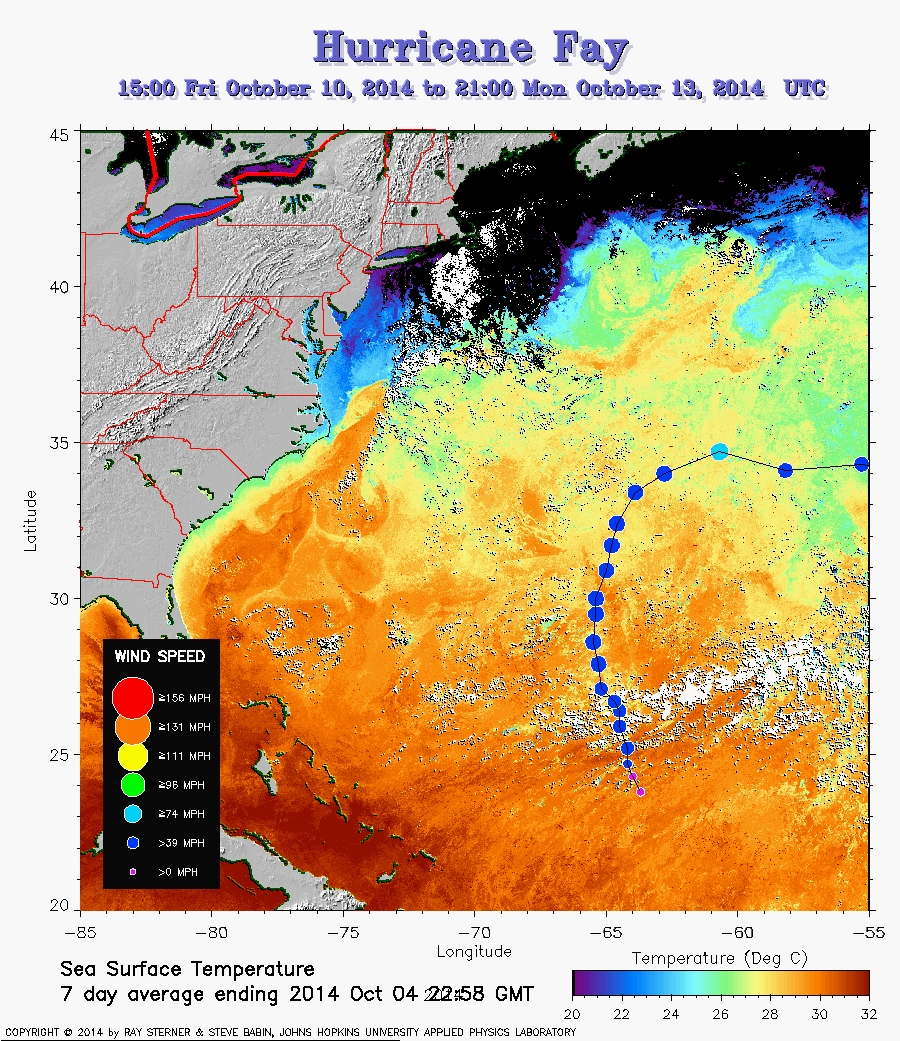 Fay track on SST image of 04 October (253 Kb) This image
represents the average composite sea surface temperature (SST) derived from
NOAA satellite AVHRR data over the 7 days ending 4 October 2014. The
averaging is done to remove clouds. The temperature scale for SST is
20C to 32C. The track of Fay is overlaid on this image.
Fay track on SST image of 04 October (253 Kb) This image
represents the average composite sea surface temperature (SST) derived from
NOAA satellite AVHRR data over the 7 days ending 4 October 2014. The
averaging is done to remove clouds. The temperature scale for SST is
20C to 32C. The track of Fay is overlaid on this image.
Track file
Track data (lat/lon, winds, etc.) in a text file.