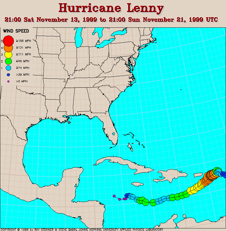
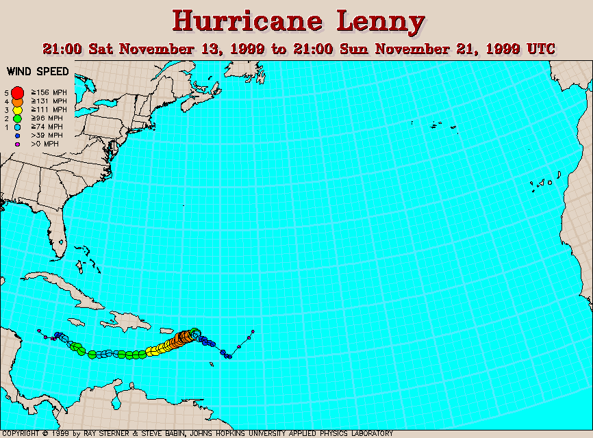
Track maps
Lenny developed from Tropical Depression 16 in the southwest Caribbean Sea. Because it was a late season storm, the westerlies guided it from west to east.
Track file
Track data (lat/lon, winds, etc.) in a text file.
| Hurricane Lenny | |
|---|---|
|
|
Lenny developed from Tropical Depression 16 in the southwest Caribbean Sea. Because it was a late season storm, the westerlies guided it from west to east. |
|
Track file
|
|